How satellites help us protect nature (even if we are not scientists)
We live surrounded by biodiversity, but too often we take it for granted. We only realise its importance when it disappears: an insect that no longer returns in spring, a stream that dries up, a hill that turns from green to grey. But how can we protect what we cannot clearly see? Today, the answer comes from space. Thanks to satellites and platforms such as BIOGIS360, biodiversity can finally be seen, measured and monitored in a simple and accessible way.
From pixels to ecosystems: Earth as we’ve never seen it before
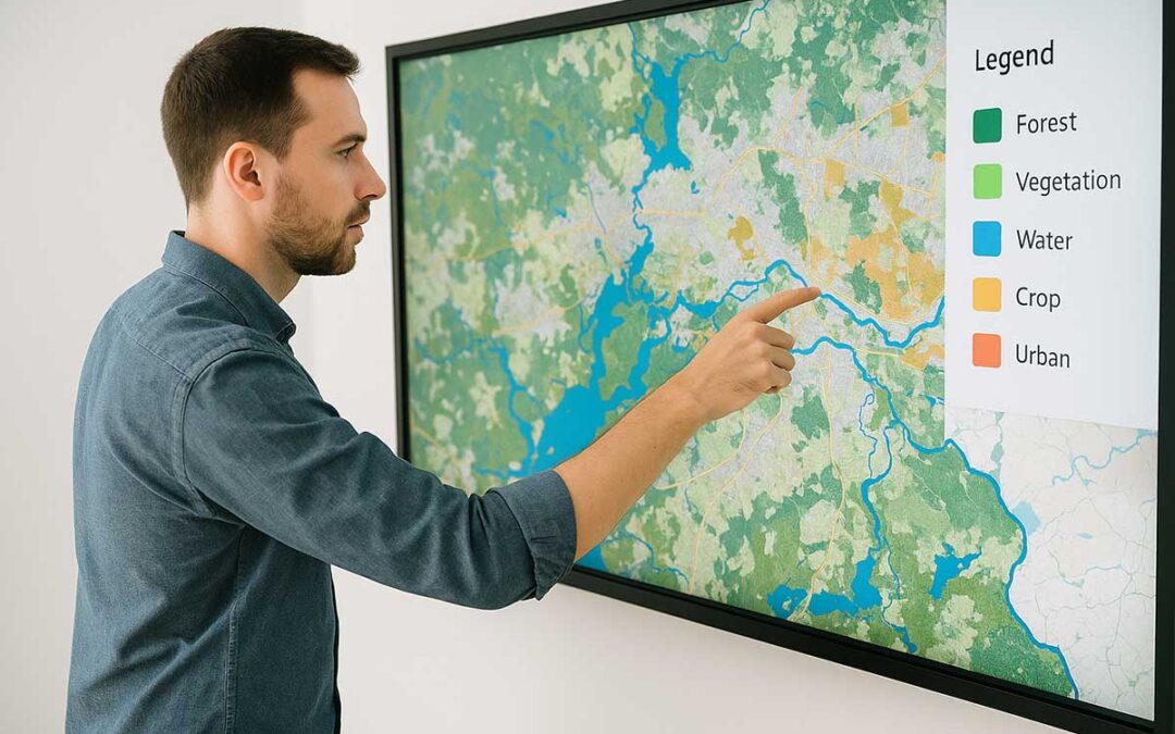
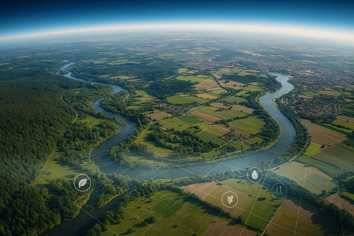
Every day, dozens of satellites orbit our planet and take multispectral, radar and thermal images of the Earth’s surface. These satellites show us not only the shapes, but also the health of a territory: the quality of vegetation, soil moisture, the presence of water, degradation and ecological fragmentation. BIOGIS360 uses data provided by systems such as Copernicus (European Union programme) as well as very high-resolution commercial satellite images. It processes and interprets this data, returning it in a form that is understandable and useful for those who need to act: mayors, technicians, researchers and citizens. For example:
- On a map, you can see if a wooded area is shrinking.
- In a report, you can find out if a protected habitat has become vulnerable.
- With a simple filter, you can compare how an area used to be and how it is now in just a few seconds.
In the past, this type of analysis required months of work and complex equipment. Today, it is available in just a few clicks, with intuitive interfaces.
Not just images: artificial intelligence reads the landscape
BIOGIS360 does not just display satellite photographs: it interprets them automatically. Using artificial intelligence models trained on thousands of images, the platform is able to:
- recognise and classify habitats in an area
- identify changes between two periods (e.g. pre- and post-drought)
- detect infrastructure elements such as roads, buildings, reservoirs
- monitor ecological indices such as the NDVI (Normalised Difference Vegetation Index), which indicates the vitality of vegetation
These algorithms allow semantic segmentation to be performed, i.e. dividing a territory into meaningful portions: a cultivated field, a wetland, a forest, a degraded area. In other words, they transform an image into environmental information. And all this is not reserved for scientists. Thanks to BIOGIS360, even those without GIS skills can view and understand these analyses, export them, integrate them into their plans or use them to communicate with others.
From map to decision
How does this help in practice? Imagine you are a local administrator:
- You can use BIOGIS360 to identify areas to be protected in your territory.
- You can check whether a construction project will impact sensitive areas.
- You can integrate the biodiversity map into your Master Plan.
Are you an environmental professional?
- You can access validated and updated data for your impact studies
- You can draw up reports in line with European regulatory requirements
- You can avoid repetitive manual surveys, thanks to automatic pre-analysis
Are you a researcher?
- You can use the data for longitudinal studies, with multi-temporal comparisons
- You can validate ecological and statistical models on a national or local scale
- You can contribute to open environmental science
Are you a citizen?
- You can see if your neighbourhood is surrounded by green or artificial areas
- You can discover unexpected habitats in your municipality
- You can participate with awareness in the debate on environment and territory
In any case, what changes is the access to environmental knowledge. BIOGIS360 makes what was invisible, visible and shareable.
A turning point for environmental governance
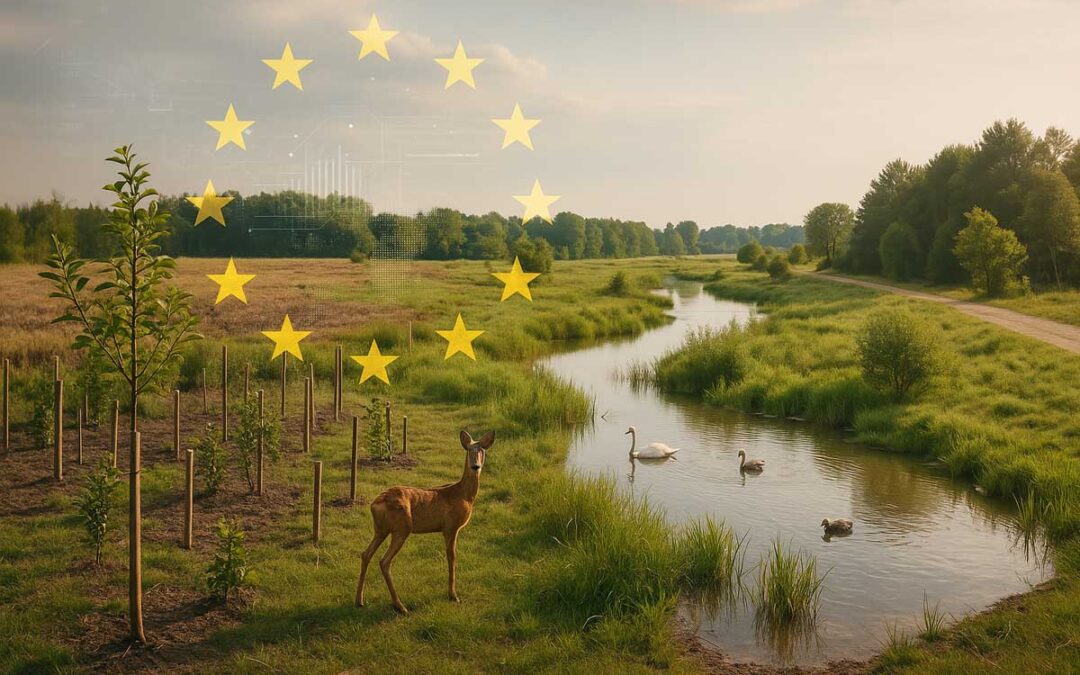
The European Union is accelerating towards a new model of governance based on objective data, transparent decision-making and informed public participation. In this scenario, tools such as BIOGIS360 are essential for:
- complying with new European regulations (such as the Nature Restoration Law)
- updating the knowledge bases of Management Plans and PRGs
- responding to the requirements of the 2030 Biodiversity Strategy
- participating in European calls for tenders where the use of satellite data is a rewarding criterion
BIOGIS360 is designed precisely to accompany this transition: from paper documents to dynamic data, from sporadic surveys to continuous monitoring, from approximation to precision.
An opportunity even for underserved areas
One of the strengths of BIOGIS360 is its ability to provide environmental analyses even in areas where recent surveys or detailed data are lacking. Thanks to satellite sources and artificial intelligence, the system can:
- fill information gaps
- support decision-making even in small towns or rural areas
- make advanced tools available at low cost or free of charge
In this way, biodiversity truly becomes a heritage for everyone, not just large institutions or metropolises.
From satellite to consciousness
Ultimately, BIOGIS360 helps answer a profound question: how can we take care of what we don’t see every day, but on which we depend? Biodiversity is everywhere, but it is fragile. Technology, if well directed, can make it visible, tangible and valuable. Our task is to use it intelligently, responsibly and with vision, and today we have the tools to do so. BIOGIS360 combines data from official sources such as ISPRA, SINAnet and Copernicus, offering a dynamic and up-to-date view of our natural heritage. It is not just about viewing maps: it is an invitation to learn more about our surroundings, so that we can take care of them with awareness.