Platform
What is BIOGIS360?
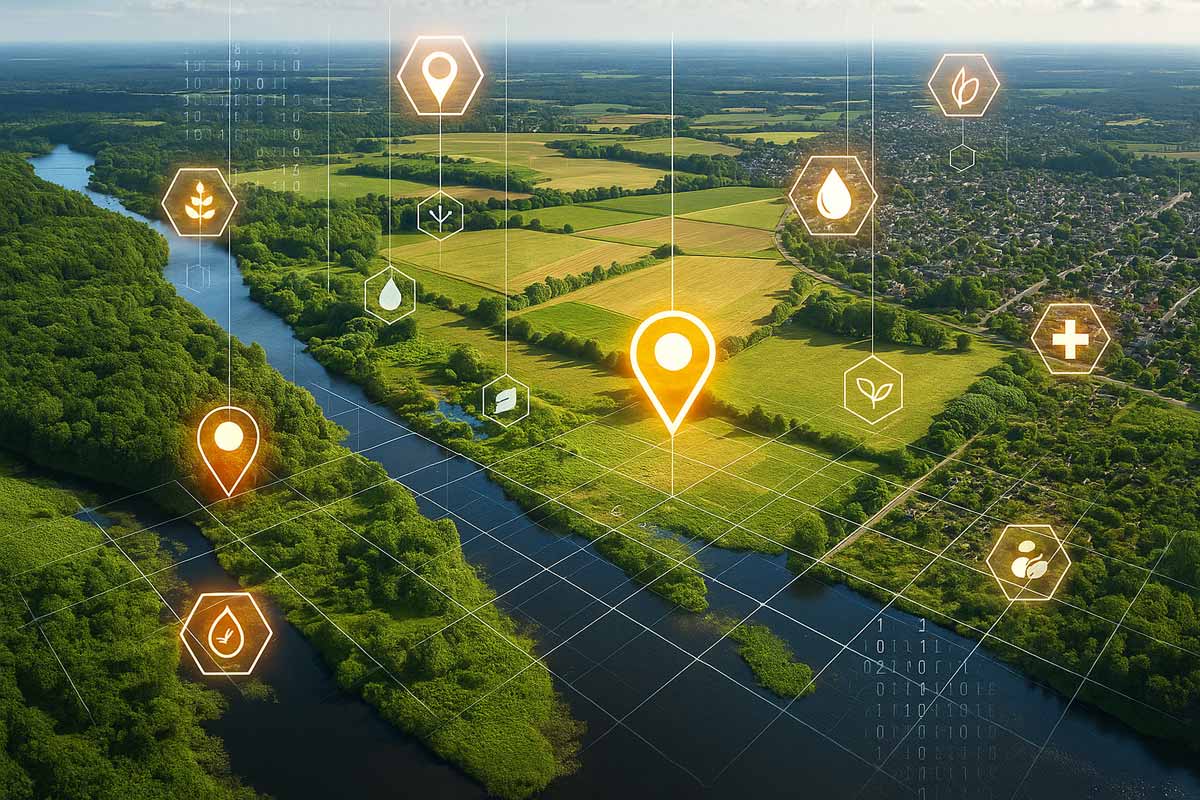
BIOGIS360 is a digital platform that helps monitor, understand, and protect biodiversity.
It does this by combining satellite technologies, geospatial data, and intelligent analysis tools that are accessible even to non-experts.
In a single, easy-to-use interface, BIOGIS360 allows you to view maps, analyze territories, produce reports, and make better decisions for the environment.
It is designed for those who need up-to-date and reliable data to take real action: public administrations, technicians, businesses, researchers, and citizens.
Why BIOGIS360 is different
BIOGIS360 was born from a clear idea: biodiversity must be measured with serious tools, not with feelings.
Here’s what makes this platform unique:
High resolution data
It uses satellite images from official sources such as Copernicus with a resolution of up to 50 cm. This means seeing more details, more often.
Intelligent analysis
The data is not only displayed, but also automatically analyzed using advanced models (such as semantic segmentation) to recognize habitats, risks, and environmental changes.
Simple interface
You don’t need to be a GIS expert. The interface is designed to allow anyone to navigate, filter and compare the data.
National coverage
BIOGIS360 is not limited to a specific area or local project. It is designed to work throughout Italy, with the possibility of scaling even further.
Can also be used by decision-makers
It is useful for scientists, but also for decision-makers: mayors, officials, entrepreneurs, and informed citizens. Reports are immediate, understandable, and printable.
What you can do with BIOGIS360
For Public Administrations
Plan more intelligently. Identify sensitive areas, optimize urban planning tools, and comply with European regulations on biodiversity and environmental restoration.
For Businesses and consultants
Access official, up-to-date data for your impact studies, environmental reports, risk assessments, and ESG plans.
For Universities and Research Centers
Leverage interoperable, validated data for scientific projects, field research, publications, and predictive models.
For citizens, associations, and activists
Consult public maps, report critical situations, and participate in environmental protection with a tool at your fingertips.
How it works
Data acquisition
BIOGIS360 integrates high-resolution satellite imagery, geospatial data, local sensors, and citizen science.
Automatic processing
Data is normalized, segmented, and analyzed using advanced models in real time.
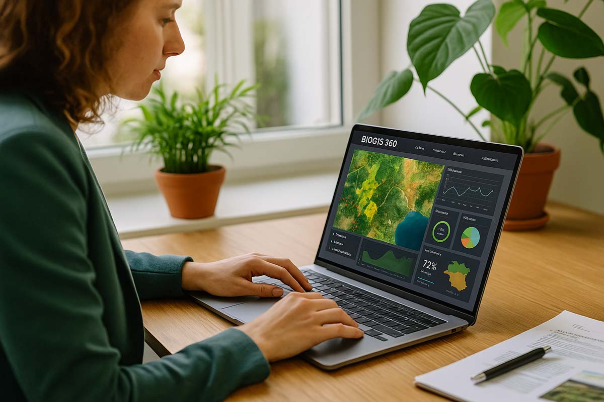
Interactive visualization
Maps, reports, and dynamic dashboards accessible from any device.
Would you like to try BIOGIS360 on a local or national scale?
In just a few minutes, we can show you what you can analyze, visualize, and decide thanks to official, up-to-date, and readily available data.