Measure, monitor and protect biodiversity. With BIOGIS360, you can turn data into action.
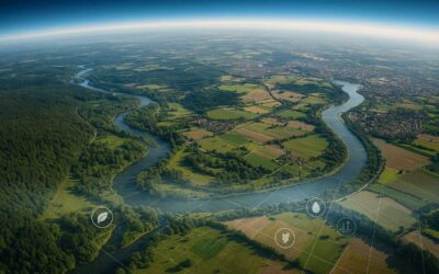
Discover the territory with new eyes, thanks to satellite data that becomes decisions.
Reliable data. Better decisions.
Reduce analysis times, improve environmental assessments, and enhance biodiversity with certified data, updated maps, and intuitive tools.
What is BIOGIS360?
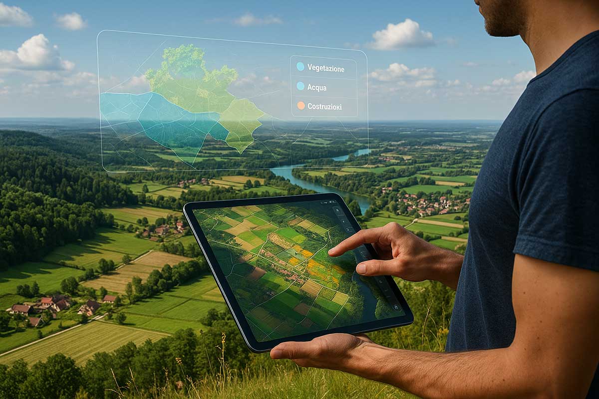
BIOGIS360 is a scalable technology geo platform designed for continuous biodiversity monitoring.
It combines satellite data (Copernicus, commercial images), advanced GIS and predictive models to provide accurate, validated and constantly updated information across the entire Italian country.
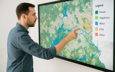
Thanks to a simple and interactive interface, BIOGIS360 allows you to analyse habitats, species and sensitive areas with just a few clicks, generating customised reports and high-resolution thematic maps.
Why is BIOGIS360 unique?
Resolution up to 50 cm, with certified and constantly updated satellite data
Resolution up to 50 cm, with certified and constantly updated satellite data
Dynamic analyses and real-time predictive models
Tools dedicated to land use and environmental planning
Who uses BIOGIS360?
Public Administrations
Manage the territory and plan intelligently, complying with European regulations and enhancing biodiversity through certified data and advanced analysis tools.
Companies and Environmental Consultants
Perform environmental analyses and ESG assessments with validated data and automatic reports. Reduce working time and ensure regulatory compliance for your projects.
Universities and Research Centers
Access interoperable geospatial datasets for scientific studies, monitoring, and experimental projects. Leverage predictive models and up-to-date thematic maps for high-level research.
Citizens and Associations
Consult environmental data transparently and actively participate in nature conservation and biodiversity protection.
BIOGIS360 News
Visible biodiversity
How satellites help us protect nature (even if we are not scientists) We live surrounded by biodiversity, but too often we take it for granted. We only realise its importance when it disappears: an insect that no longer returns in spring, a stream that dries up, a...
How to read an environmental map
A simple guide for citizens, administrators and teachers Many people find themselves looking at a colourful map, full of symbols, lines and levels, and think: “Now what?” If you are not a GIS technician or an environmental engineer, reading a geospatial map can seem...
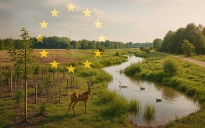
The Nature Restoration Law is already here: are you ready?
From regulation to action with BIOGIS360 Since 2024, Europe has entered a new phase: it is no longer enough to protect what remains, we must rebuild what we have lost. The Nature Restoration Law, approved by the European Parliament, is not just a set of articles. It...